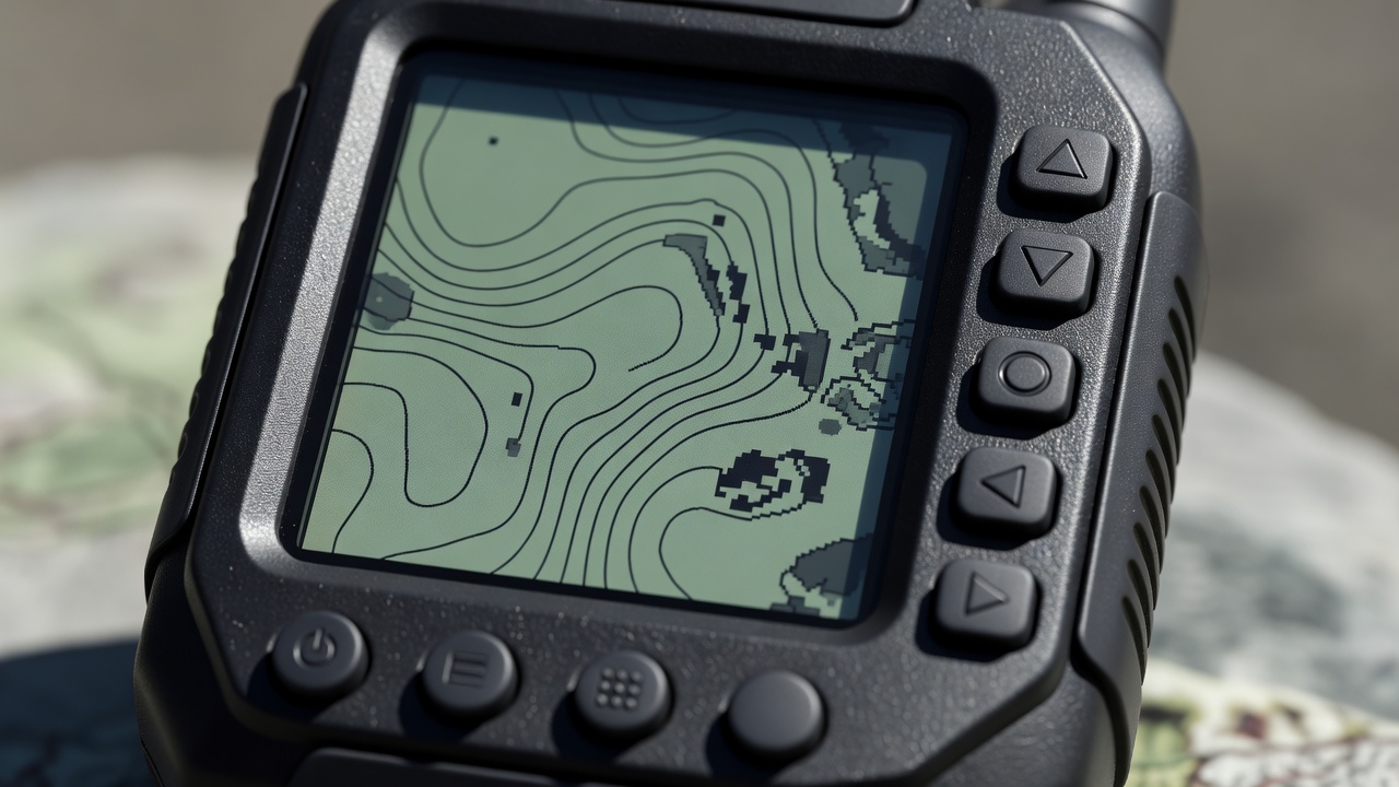
Separate positioning from connectivity
GPS is one satellite navigation system within the broader category of GNSS. Other constellations include Galileo, GLONASS and BeiDou. A compatible receiver can calculate a position without mobile coverage, provided it can receive the necessary satellite signals. That capability does not automatically supply map imagery, address search, current traffic or a message connection.
A phone may use network assistance to obtain an initial position more quickly. Without it, a first fix can take longer, particularly after travel or a long period powered off. Give the receiver a clear view of the sky and time to settle. Do not confuse a cached last position with a fresh fix. Learn the status indicators on your particular device.
Choose for the failure you need to cover
A phone has a large screen and flexible planning software. A dedicated handheld may provide physical controls, rugged construction or replaceable batteries, depending on the model. A vehicle-mounted unit can be convenient at junctions but may depend on the vehicle's electrical system. The useful comparison is not which category is universally best; it is which weaknesses remain in your specific setup.
| Device | Useful role | Check before relying on it |
|---|---|---|
| Smartphone | Planning, detailed maps and quick reference | Offline layers, heat, wet-screen control and battery consumption |
| Handheld GNSS | Separate positioning and track recording | Map licensing, coordinate settings and actual battery arrangements |
| Vehicle unit | Readable route context while stopped at junctions | Power loss, mount security and routing assumptions |
| Paper map and compass | Independent terrain interpretation | Coverage, scale, condition and the user's practised skills |
Make coordinates unambiguous
A coordinate needs a format, reference system and clear hemisphere or sign conventions. Latitude and longitude may appear as decimal degrees, degrees and decimal minutes, or degrees, minutes and seconds. UTM and national grid references are different systems again. Copying numbers between unlike formats can place a point far from its intended location.
Example: 00.0000° N, 000.0000° E
This is a formatting illustration, not a destination or safe location.
Match the receiver settings to the map or the recipient's stated requirements. WGS 84 is commonly used for satellite positioning, but do not assume every printed map uses it. Read the map legend. When sharing a position, identify the format explicitly and request a read-back where possible. More decimal places do not make an uncertain position more accurate.
Recognise conditions that weaken a fix
Cliffs, deep valleys, dense vegetation and structures can block or reflect satellite signals. Reflections, often called multipath, can distort the calculated position. Multi-constellation or multi-band capability may help in some conditions, but neither removes every error. Treat the displayed accuracy estimate as an indicator rather than a promise.
At a safe stopping place, compare the fix with a junction, stream bend, ridge or other identifiable feature. Ask whether the position is consistent with your recent direction and travel time. A moving map dot that jumps across a steep valley should prompt investigation, not an immediate change of course. Stop moving before making a complicated correction.
Test power and handling together
Run the receiver for a realistic practice outing with the screen brightness, recording interval and sensors you expect to use. Cold, heat and continuous display use can change endurance. Check charging while the device is mounted, and protect cables from vibration. A spare battery is useful only if it is charged, compatible and accessible.
Practise marking a waypoint, returning to the map and reading coordinates without hunting through menus. Verify what happens if recording stops or storage fills. Garmin GPSMAP and eTrex families illustrate dedicated handheld approaches, but features differ between models; consult the current manufacturer's manual. Make configuration decisions before departure and carry the essential settings in your route notes.